
 Conservative
  Search
 Trending
 Current News
We support our Publishers and Content Creators. You can view this story on their website by CLICKING HERE.
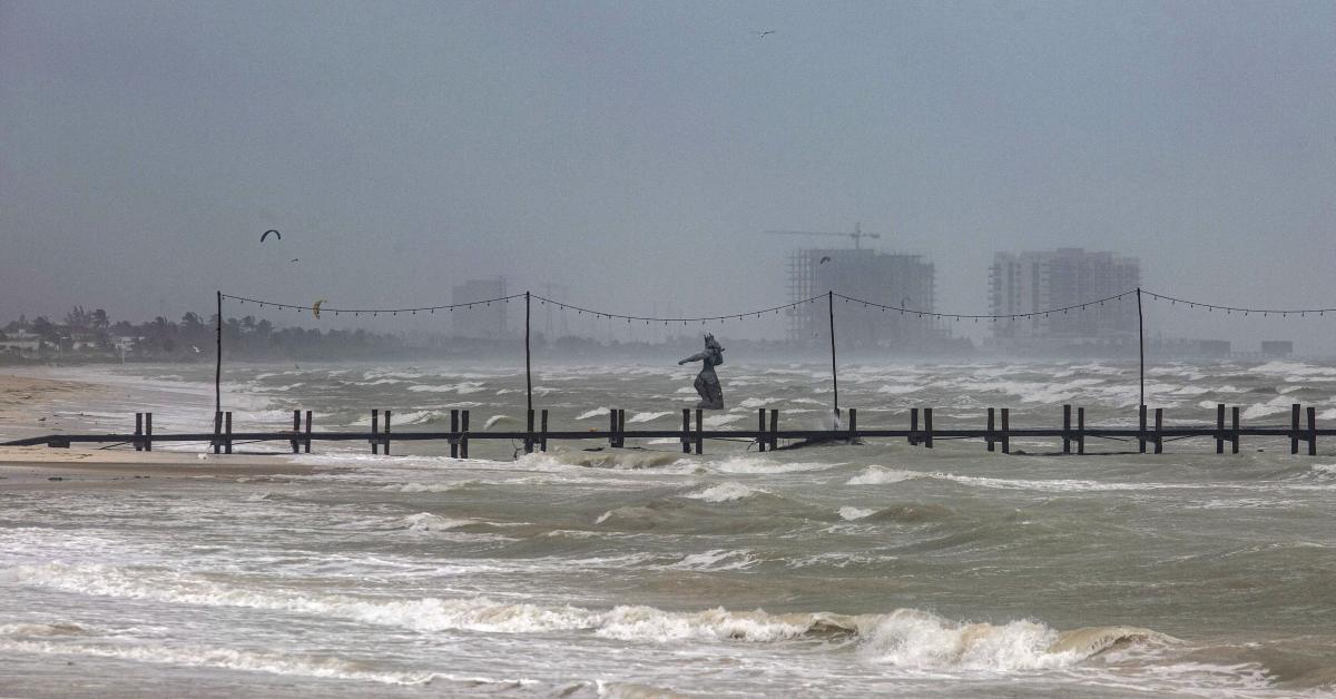
Hurricane Milton finally made landfall on Wednesday night, slamming into Florida’s western coast as a Category 3 storm and wreaking havoc near Tampa Bay.
The storm began the day as a potentially devastating Category 5 hurricane, but lowered to a Category 4 on Wednesday afternoon, before downgrading to a Category 3 storm at 4 p.m. Eastern. Milton had a sustained wind speed of 120 mph at landfall.
The hurricane comes just two weeks after the state was hit by Hurricane Helene, which resulted in the deaths of over 200 people in the southeast. Helene made landfall as a Category 4 hurricane, and hit North Carolina the hardest.
Hurricane Milton has resulted in destructive flooding in Tampa because of storm surges and rainfall. Approximately 6 inches of rain has already fallen in Tampa as of 8 p.m. Eastern, and an additional 5 to 8 inches is expected in the next six hours.
“An axis of extreme rainfall, stretching from the Tampa metropolitan region northeastward into the north-central Florida Peninsula, is expected to result in major to locally catastrophic flash flooding with considerable threats to life and property,” the Weather Prediction Center warned, according to CNN.
At least 500,000 businesses and homes are also without power across Florida as of Wednesday evening, per PowerOutage.us. and the number is expected to rise.
Weather conditions caused by Hurricane Milton have also prompted the state to issue nearly 100 tornado warnings as of 6 p.m., breaking the state’s record, with at least 18 confirmed tornadoes being spotted so far, per weather service reports. The bulk of the tornado warnings were issued in Miami.
Misty Severi is an evening news reporter for Just The News. You can follow her on X for more coverage.